Florida is still recovering from Hurricane Ian last year, even as residents prepare for damage from Idalia.
TAMPA, Fla. — Hurricane Idalia strengthened to a Category 2 storm with 100 mph (155 kph) winds on Tuesday as it barreled toward Florida’s Gulf Coast.
Forecasters at the National Hurricane Center in Miami said Idalia is expected to become a major hurricane Tuesday night before it reaches the Big Bend, and is still likely to be a hurricane while moving across southern Georgia on Wednesday .
THIS IS A BREAKING NEWS UPDATE. AP’s earlier story follows below.
Idalia strengthened into a hurricane Tuesday and barreled toward Florida's Gulf Coast as authorities warned residents of vulnerable areas to pack up and leave to escape the twin threats of high winds and devastating flooding.
Idalia was churning in the Gulf of Mexico as a Category 1 storm, but it was projected to come ashore early Wednesday as a Category 3 system with sustained winds of up to 120 mph (193 kph) in the lightly populated Big Bend region, where the Florida Panhandle curves into the peninsula. The result could be a big blow to a state still dealing with lingering damage from last year’s Hurricane Ian.
The National Weather Service in Tallahassee called Idalia “an unprecedented event” since no major hurricanes on record have ever passed through the bay abutting the Big Bend region.
On the island of Cedar Key, Commissioner Sue Colson joined other city officials in packing up documents and electronics at City Hall. She had a message for the almost 900 residents who were under mandatory orders to evacuate the island near the coast of the Big Bend region. More than a dozen state troopers went door to door warning residents that storm surge could rise as high as 15 feet (4.5 meters).
“One word: Leave,” Colson said. “It’s not something to discuss.”
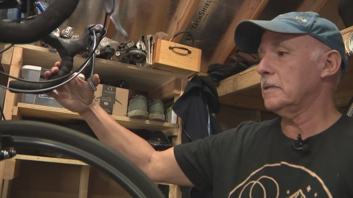
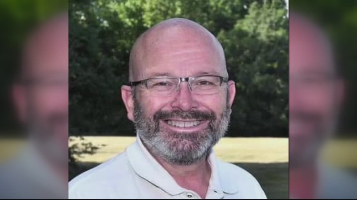
Not everyone was heeding the warning. Andy Bair, owner of the Island Hotel, said he intended to “babysit” his bed-and-breakfast, which predates the Civil War. The building has not flooded in the almost 20 years he has owned it, not even when Hurricane Hermine flooded the city in 2016.
“Being a caretaker of the oldest building in Cedar Key, I just feel kind of like I need to be here,” Bair said. “We've proven time and again that we’re not going to wash away. We may be a little uncomfortable for a couple of days, but we’ll be OK eventually.”
Tolls were waived on highways out of the danger area, shelters were open and hotels prepared to take in evacuees. More than 30,000 utility workers were gathering to make repairs as quickly as possible in the hurricane's wake. About 5,500 National Guard troops were activated.
In Tarpon Springs, a coastal community northwest of Tampa, 60 patients were evacuated from a hospital out of concern that the system could bring a 7-foot (2.1-meter) storm surge.
“You do not have to leave the state. You don’t have to drive hundreds of miles," Florida Gov. Ron DeSantis said Tuesday morning at the state’s emergency operations center. “You have to get to higher ground in a safe structure. You can ride the storm out there, then go back to your home.”
At 2 p.m. EDT Tuesday, Idalia was about 240 miles (390 kilometers) south-southwest of Tampa, with maximum sustained winds of 90 mph (150 kph), the National Hurricane Center said. It was moving north at 15 mph (24 kph).
Idalia's initial squalls were being felt in the Florida Keys and the southwestern coast of Florida on Tuesday afternoon, including at Clearwater Beach. Workers at beachside bars and T-shirt shops boarded up windows, children skim-surfed the waves and hundreds of people watched the increasingly choppy waters from the safety of the sand.
After landing in the Big Bend region, Idalia is forecast to cross the Florida peninsula and then drench southern Georgia and the Carolinas on Thursday. Both Georgia Gov. Brian Kemp and South Carolina Gov. Henry McMaster announced states of emergency, freeing up state resources and personnel, including hundreds of National Guard troops.
“We’ll be prepared to the best of our abilities,” said Russell Guess, who was topping off the gas tank on his truck in Valdosta, Georgia. His co-workers at Cunningham Tree Service were doing the same. "There will be trees on people’s house, trees across power lines.”
Meanwhile, Idalia thrashed Cuba with heavy rain, especially in the westernmost part of the island, where the tobacco-producing province of Pinar del Rio is still recovering from Ian. More than 10,000 people evacuated to shelters or stayed with friends and relatives as up to 4 inches (10 centimeters) of rain fell. More than half of the province was without electricity.
Idalia will be the first storm to hit Florida this hurricane season, but it's only the latest in a summer of natural disasters, including wildfires in Hawaii, Canada and Greece; the first tropical storm to hit California in 84 years, and devastating flooding in Vermont.
With a large stretch of Florida's western coast at risk for storm surges and floods, evacuation notices were issued in 22 counties, with mandatory orders for some people in eight of those counties. Many of the notices were for low-lying and coastal areas and for people living in mobile and manufactured homes, recreational vehicles or boats, and for people who would be vulnerable in a power outage.
Many school districts along the Gulf Coast were to be closed through at least Wednesday. Several colleges and universities also closed, including the University of Florida in Gainesville. Florida State University in Tallahassee said its campus would be closed through Friday.
Two of the region's largest airports stopped commercial operations, and MacDill Air Force Base on Tampa Bay sent several aircraft to safer locations. The Busch Gardens Tampa Bay theme park also planned to close. On Florida's Space Coast, on the other side of the peninsula from where Idalia is expected to make landfall, United Launch Alliance said Tuesday that it was delaying the launch of a rocket carrying satellites for U.S. defense and intelligence agencies.
Ian was responsible last year for almost 150 deaths. The Category 5 hurricane damaged 52,000 structures, nearly 20,000 of which were destroyed or severely damaged.
The National Oceanic and Atmospheric Administration recently said the 2023 hurricane season would be far busier than initially forecast, partly because of extremely warm ocean temperatures. The season runs through Nov. 30, with August and September typically the peak.
Floridians viewed Idalia's name with some concern since 13 Atlantic storm names beginning with “I” have been retired since 1955, according to the National Weather Service. That happens when a storm’s death toll or destruction is so severe that using its name again would be insensitive.
Another concern was the presence of a rare blue supermoon, which can cause higher-than-normal tides.
Cedar Key was expected to be at low tide shortly after sunrise on Wednesday, with Idalia forecast to make landfall a few hours later. That’s a bit of a relief since the water level would be higher if the storm surge arrived during a high tide, said University of Miami hurricane researcher Brian McNoldy.
“That definitely plays a role in coastal flooding,” McNoldy said.
___
Associated Press writers Sarah Brumfield in Silver Spring, Maryland; Cristiana Mesquita in Havana; Mike Schneider in St. Louis, Missouri; and Lisa Baumann in Bellingham, Washington, contributed to this report.
.png)


 English (US) ·